Predator Management Support for Ranches, Farms, and Large Private Properties.
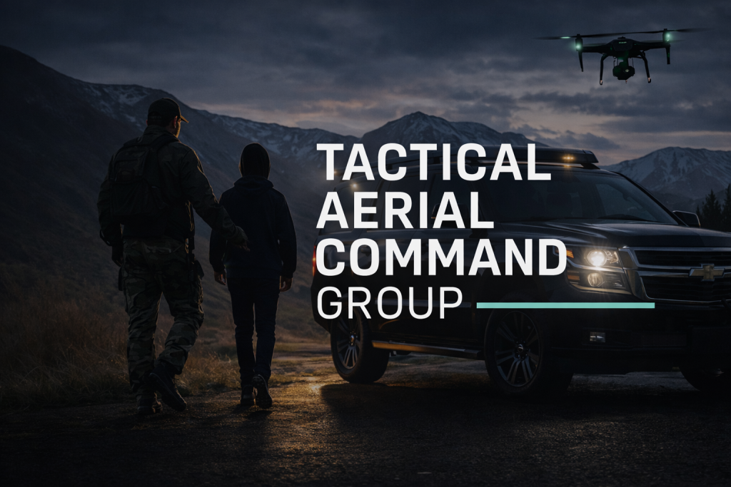
Tactical Aerial Command Group provides drone-based predator detection, search support, live tracking, and mission coordination for landowners facing coyote pressure and livestock loss. Built for difficult terrain, large acreage, and time-sensitive response.
Predator Management Services
Our services are designed to help landowners improve situational awareness, increase search efficiency, and support faster action across high-risk livestock areas.
Aerial Predator Detection
Daylight and low-light drone support to identify predator movement, scan open ground, monitor approach routes, and improve visibility over terrain that is difficult to cover by vehicle or foot.
Livestock Zone Monitoring
Focused scanning around calving grounds, perimeter lines, vulnerable herd areas, and recurring pressure zones where predators are most likely to approach.
Live Tracking Support
Real-time overwatch and communication support to help track movement patterns and relay actionable information during active field operations.
Built for Real Ranch Conditions
- Large private acreage and open terrain
- Remote fence lines and difficult access zones
- Calving season and high-value livestock protection
- Recurring predator pressure near herd movement areas
- Rapid deployment support after fresh livestock loss
What You Get
- Property-specific planning before deployment
- Aerial scan support tailored to your land and risk areas
- Mission coordination during active operations
- Optional photo or visual documentation when needed
- Professional response built around speed and coverage
How the Process Works
From first call to final reporting, TACG is structured to make response simple, fast, and mission-focused.
Initial Contact
We gather details on location, acreage, livestock type, recent activity, and urgency.
Property Review
We identify likely routes, pressure zones, terrain challenges, and mission priorities.
Mission Planning
Flight planning is built around coverage needs, land layout, access, and timing.
Aerial Operation
Drones provide overwatch, scanning support, and live intelligence during the operation.
Summary & Follow-Up
You receive mission notes, next-step recommendations, and coverage summary when applicable.
Sample Pricing
Pricing varies based on travel, property size, terrain, mission time, and operational complexity.
Focused Property Scan
- Single-property review
- Targeted aerial scan
- Basic operational summary
- Best for smaller response needs
Predator Response Mission
- Expanded property coverage
- Low-light / thermal support options
- Live coordination during operation
- Post-mission reporting
Ranch Monitoring Plan
- Scheduled support windows
- Priority deployment availability
- Custom coverage strategy
- Built for larger recurring needs
Final scope and services are subject to operational review and must comply with all applicable local, state, and federal laws.
Ideal for High-Risk Livestock Areas
TACG predator removal support is best suited for landowners and operators who need better coverage, faster awareness, and stronger support around livestock protection operations.
- Ranches and cattle operations
- Calving areas and herd movement routes
- Large farms with remote acreage
- Private land with recurring coyote pressure
- Remote access terrain
- Properties needing repeat monitoring
Need Predator Management Support?
Contact Tactical Aerial Command Group to build a property-specific aerial support plan for your land, livestock, and response needs.